


Forrest Gump Point Guide
Monument Valley, Utah, is full of iconic views, having been featured in a variety of films, from the westerns of the 1950's, to the second Jurassic World, and of course, 1994's Forrest Gump. It was along this spot of highway that Forrest, with a group of runners in tow, decided to terminate his cross country trek. You've probably seen about a million people on Instagram replicating this shot, so what hurt is a million and one? In all seriousness though, it's an amazing view, and doesn't take too long, so why not check it out?
"I'm... pretty tired. Think I'll go home now."
When to Visit
Forrest Gump Point is found on a major highway, so unless there's inclement weather (heavy rain or snow), it'd be tough to pick a bad time to visit, though expect cold weather in the winter--snow on top of the buttes can be a nice tough for photographs though.

Snow makes for a "butte-iful" view.
Get it? HAHAHA, wait no, please don't leave, this site needs your support.
How to Get There
While not in the park itself, Forrest Gump Point is found in the Monument Valley area, near the border of Arizona and southeastern Utah. The park itself is magnificent, and the embodiment of the classic American west, so certainly make a point of checking it out. Forrest Gump Point is found on US Route 163, which runs through the massive buttes and towers that make up Monument Valley. If you're coming from the park, take 163 north heading towards Mexican Hat until you arrive at mile marker 13--you'll know you're close when you begin seeing signs to watch for people in the roadway. There's a number of pull offs, but the main one will be on your left, near the mile marker sign.
Forrest Gump Point
Time: 15 minutes.
Distance: N/A.
So you've chosen a pull off and have this amazing view in front of you: now what? Well, it's probably time to take some pictures. For the love of God though, if you're going to pose in the road, make sure you're careful: this is a busy highway, and cars coming down the hill going into the valley have a lot less time to see you than the folks driving up the hill. At the main pull off, you'll find a sign marking the (almost) exact spot where Forrest ended his run.

Not pictured: my lovely and patient wife looking out for cars behind me.

About Me

Hi there, I'm Dan: videographer, travel-addict, and beer-lover. I left corporate life behind to start my own video business and travel the world. Want to know more about me and Dan Treks?
Top Posts
Yosemite's most popular and perilous hike: Half Dome
Boost your creativity through travel
National Park Guides

Videos


As for those pictures, your phone should do just fine if you want the classic standing-in-the-road shot, but if you're traveling with a camera, I find a telephoto lens works best here. Morning golden hour is the best, with the light from sunrise directly on the buttes. By noon or so, especially in the hotter months, you do run the risk of haze muddying the view, but this isn't guaranteed. For sunset, the buttes often become silhouetted and the sky behind them glows.

So, now what? If you're continuing north on your adventure, you're going to find yourself in Mexican Hat and the San Juan County region of Utah, one of my absolute favorite areas, and one full of a lot of hidden gems. Full of valleys, canyons, pueblo ruins, gigantic stone arches and more, it's well worth your time.
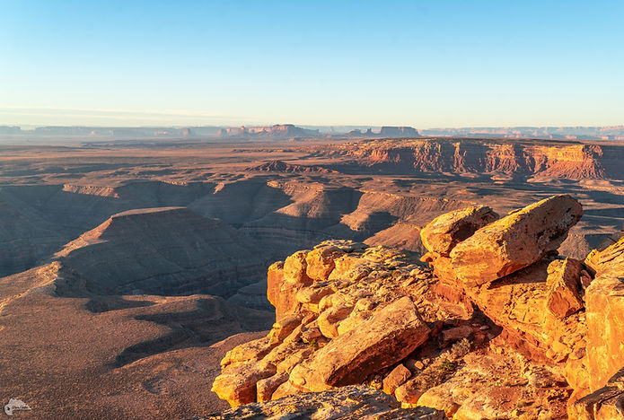
If you like the view from Forrest Gump Point, it looks even better from this spot just up the road.